About the Risk Mapping Tool
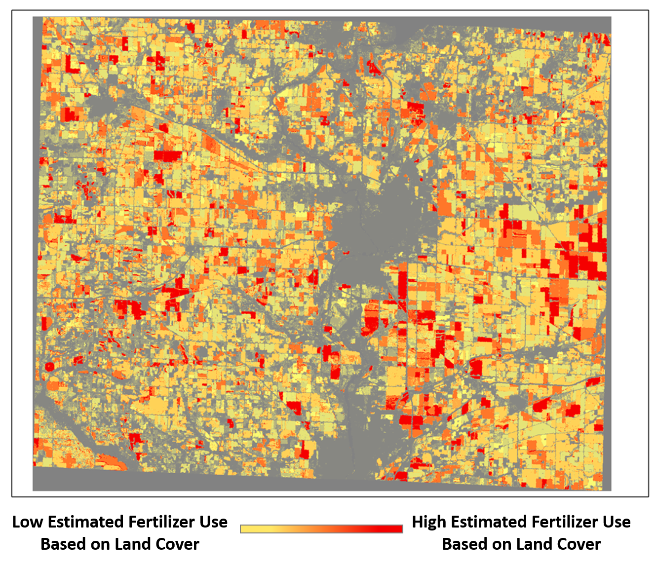
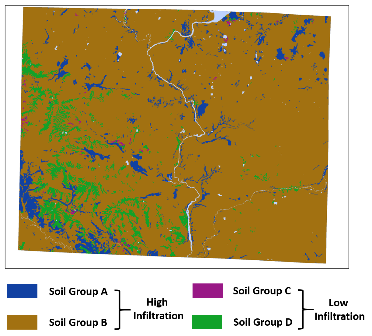
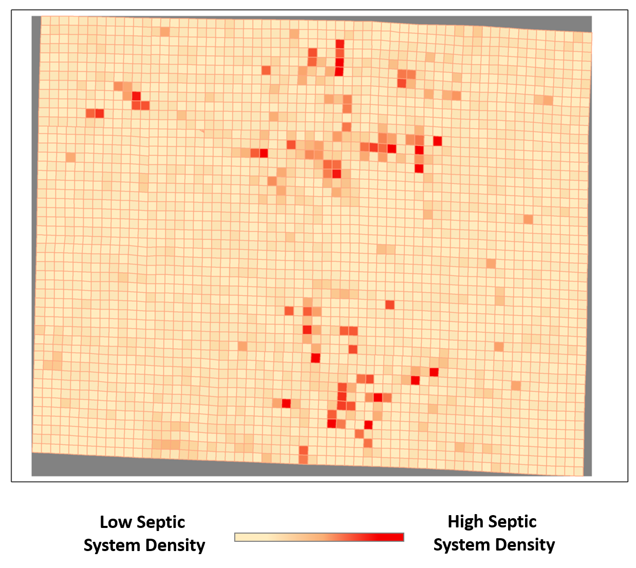
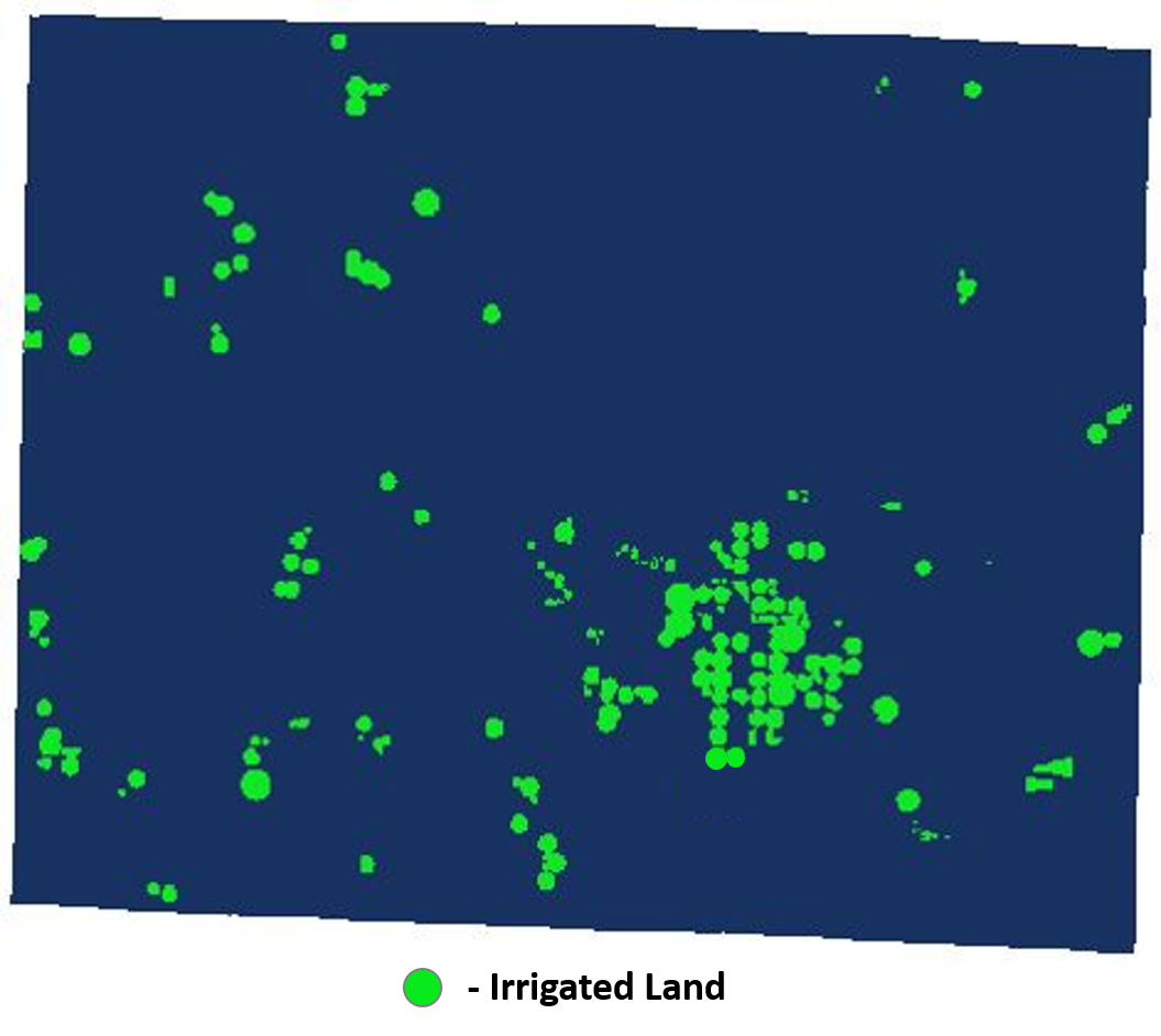
The Rock County Public Health Department created a Nitrate Risk Mapping Tool to display the potential risks of nitrate contamination in shallow groundwater. We developed this tool using research and data to estimate areas of Rock County that may be at greater risk of nitrate contamination. The risk estimates in this map are based off the following data:
Through extensive research, we determined these four factors were the best to estimate the risk of nitrates in groundwater.


